ID: 172730
Description
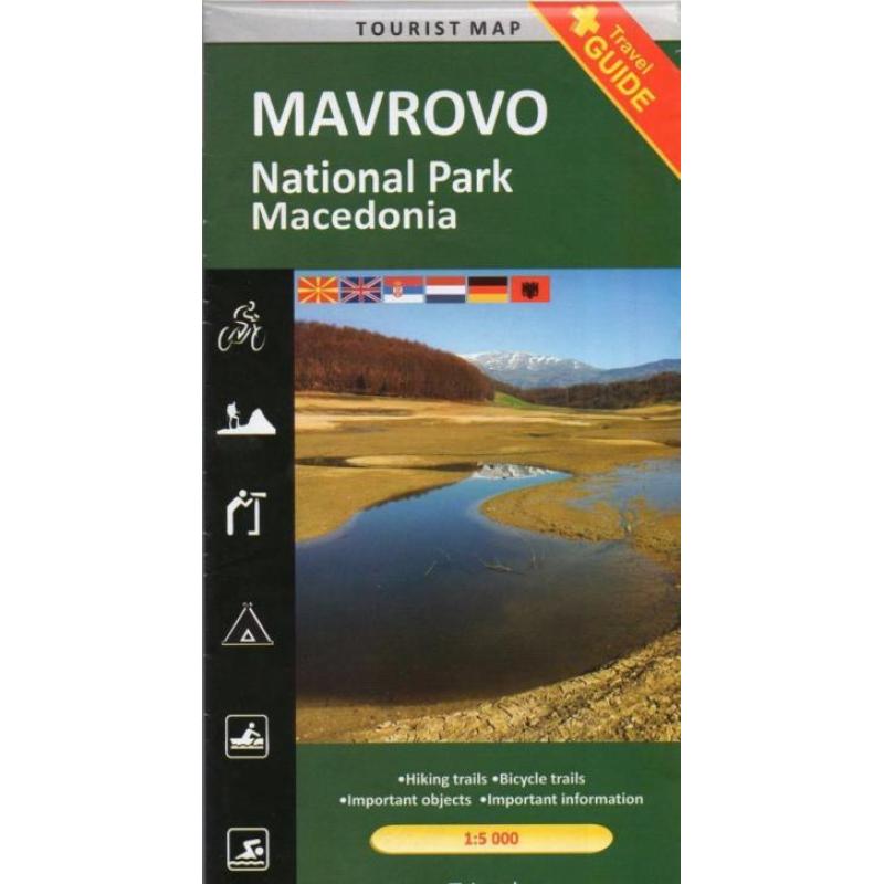
Wandelkaart / mtb-kaart mavrovo Macedonie € 8,95
schaal: 1:55.000
eenvoudige wandelkaart van een nationaal park in macedonie. De kaart is niet van het topografische nivo zoals wij kennen, maar toch geeft het wel de mogelijkheid om dit onbekende gebied te ontdekken. Enkele wandel- en fietsroutes worden weergegeven en met symbolen worden toeristische voorzieningen aangeduid als campings, zwemmogelijkheden, kayak-opties en mooie uitzichtspunten. Achterop de kaart staat de toeristische waarde van het gebied summier beschreven. Taal is o.a. Engels.
04.19.1949 the park is proclamed in a protected zone on 11.750 ha. 07.03.1952 expansion of the borders of the park: the territory of the park increased were that 6 times (73.088 ha). Within the borders of the park there are 36 settlements and 4 local areas: mavrovo plain, gorna reka, river mala and dolna reka. The park is located on the territory of the mavrovo and rostusa municipality, and it is the biggest national park in macedonia. The river radika flows through the middle of the national park. It is the cleanest and the most beautifull river in the republic of macedonia. The valley of the radika is characterized by beautiful landscapes and suitable locations for sport fising. The national park is rich with glacial lakes, 14 of which are permanent. The lake at the lowest altitude is lokuv on desat situadetat an altitude of 1.565 m, while the highest lake can be found below the peak golem korab at an altitude of 2.470 m.


