ID: 172729
Advertentie ID: #172729 is toegevoegd aan uw verlanglijst.
Omschrijving
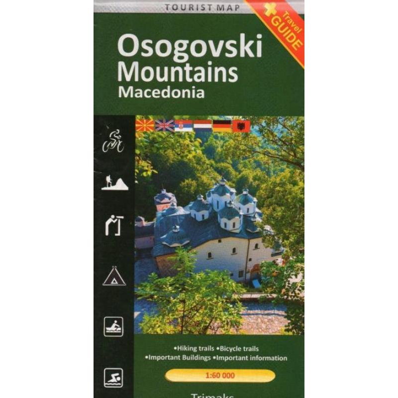
Wandelkaart / mtb-kaart osogovo gebergte € 8,95
schaal: 1:60.000
eenvoudige wandelkaart van een nationaal park in macedonie. De kaart is niet van het topografische nivo zoals wij kennen, maar toch geeft het wel de mogelijkheid om dit onbekende gebied te ontdekken. Enkele wandel- en fietsroutes worden weergegeven en met symbolen worden toeristische voorzieningen aangeduid als campings, zwemmogelijkheden, kayak-opties en mooie uitzichtspunten. Achterop de kaart staat de toeristische waarde van het gebied summier beschreven. Taal is o.a. Engels. Osogovo mauntains are a high and massif mountain rage the dominates the eastern part in macedonia. The osogovo mauntains range stretches in two countries, covering an area of 1.535 km2,1.102 km2, belong to macedonia, while 443 km2 belong to bulgaria. Taking in account the area, it is a second mauntain in macedonia, after the mauntain range jakupica. The highest peak is ruen ( 2.252m), beside which there are 5 peaks above 2.000m. Osogovo mauntains tectonically belong to the serbian-macedonian range, which represents an old land mass on the balkan peninsula. The tectonical movements made this terrain to be raside, crushed and riddled with faults and as a result formed into horst. The relief of osogovo mauntains is represented bu high, flattened and long crests, that were broken down with deep river vaiieys, volcanic cones and craters.beside the crests important part of the relief are the river valleys with gorges.the most famous are the river vallues of toranica, kamenicka, orizarska, zletovo etc. Only 20 km north of kocani, in the heart of the osogovo mauntains lies the summer and winter resort ponikva (1.580km), covered with thick beech forest and green pastures. Due to its climate this resort is visited by tourists through the year.various tourist and sport and recreation. There is a day-care centre with 220 beads, ski-tracks, two ski-lifts, motels, restaurants and many summer houses.
